
Finding Orange Streets by Address
A street search begins with one exact address, not a broad wish to see every name on a road. In Orange, the most durable bridge is the parcel. The assessor or county map can give an APN and situs, the physical address assigned to the taxed land. That key can then be carried to the tax search, recorded-document index, city permit history, and older sources. The result is an address trail, not a promise that every person connected to a home will appear.
Start with a target address and record every spelling choice. Keep the street number, directional prefix, city label, APN, and any legal-description fragment together. The sequence below follows the record chain used for Orange addresses.
- Run the full address through the Orange County Assessor secured-property search and save the APN, situs, roll name, mailing distinction, and property characteristics.
- Open OC Public Works OC Interactive Map, click the parcel, and inspect the adjoining polygons without treating the map as a legal survey.
- Move the APN or exact situs into the Orange County Treasurer-Tax Collector search when the question concerns tax status or a bill.
- Search the Clerk-Recorder index for the current owner as grantee near the acquisition date, then capture the grantor and legal description.
- Use a reverse directory or criss-cross volume for the publication year of a past household, and use the voter channel only for a permitted purpose.
The address workflow is strongest when it records what each step proves. Ownership, parcel geography, permit activity, historic listing, and voter registration are separate forms of evidence.
Orange Street Search Fields
The Orange County Assessor secured-property search is address and APN oriented. A name is not presented as an unrestricted public browse, so an exact street key or APN is the dependable start. A result can show the parcel, assessment ownership or assessee display, mailing information where public, values, characteristics, and tax-year context. It does not establish title by itself.
Use the field that matches the fact already in hand. Street number and street name suit a known situs. APN is better when an old address has changed, a parcel has split, or two similar addresses are close together. A city selector can narrow the result, but a postal city name does not settle municipal jurisdiction.
| Street Number | Text field for the physical number; optional when APN is used. |
|---|---|
| Street Name | Text field; try directional and historic spelling variants. |
| City | Selector or text field when offered by the live search. |
| APN | Formatted numeric alternative and the safest exact parcel key. |
| Search and Reset | Run the query or clear the current criteria. |
The Orange tax search is a separate layer. Its parcel-linked results can help confirm a mailing context, tax amount, or status, but assessment, tax, and title records should not be merged into one claim.
The county tax search screen below is linked to the official TCWeb entry point. It belongs in the street directory because a parcel key can be carried between the tax and assessment systems.
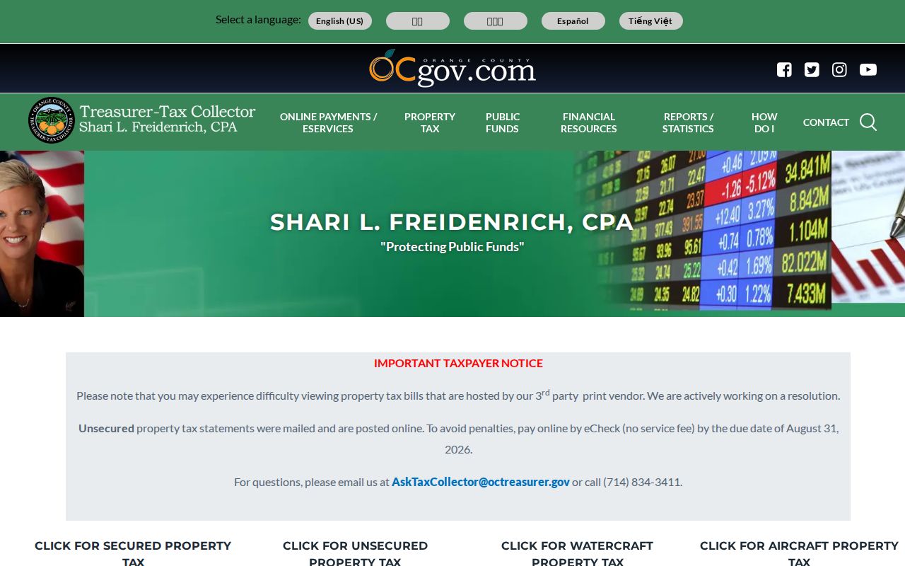
A tax result supports parcel research. It still does not tell a researcher who occupies every room or who receives mail there.
Orange Records by Street
Address-keyed records in Orange overlap, but none is a complete resident list. The coverage table shows the role each source can play in a street directory and the access channel documented for it.
| Record Set | Keeper | What It Shows | Access |
|---|---|---|---|
| Assessment roll | Orange County Assessor | APN, situs, assessed owner or assessee, mailing distinction, values | Free current search |
| Parcel GIS | OC Public Works | Parcel shape, APN, adjoining parcels, map layers | Free interactive map |
| Tax bill search | Treasurer-Tax Collector | Parcel-linked bill, amount, status, mailing context | Free search |
| Deeds and liens | Clerk-Recorder | Grantor, grantee, recording date, type, instrument number | Free index; paid copies |
| City permits | City of Orange | Work scope, date, applicant, contractor, or owner named in the file | Online after 1989; request earlier files |
| Reverse directory | History Center collections | Listed occupant or subscriber at a historic number | Staff or catalog request |
The APN is the common thread for current land records. The street number is the common thread for permits and reverse directories. The recorder index is primarily name and date based, so it usually follows an address-to-owner step rather than replacing it.
For a neighbor radius, click parcels one at a time in GIS. Do not imply that the resulting owner set is a household set. For historical residents, the Orange directory book collection explains how to read and verify the older volumes.
Browse an Orange Street Block
The OC Interactive Map is a visual address tool. Search an address or APN, zoom until parcel lines and labels are legible, and click the target polygon. The viewer may expose address autocomplete, place or layer search, identify, basemap, legend, measure, select, print, and zoom controls. Its scripted controls can change, so record the live label and date of a capture.
To walk a block, pan from the target parcel and click each polygon that shares a boundary or lies across the street. Carry each APN to the assessor or tax search. Across-the-street parcels are geographically close but can sit in a different planning, postal, school, or service context. The map can show relationships; it cannot establish a boundary, title, or household.
| Address mode | Autocomplete or text search for a situs location. |
|---|---|
| Parcel mode | APN search and click-to-identify parcel geometry. |
| Layers | Current parcel fabric and other available map layers, with a legend. |
| Block method | Zoom, click the target, then inspect adjacent polygons one at a time. |
A GIS parcel is a discovery aid. A survey, deed legal description, or recorded map is the source for a legal boundary question.
Orange Street Address Keys
Several address terms look alike but answer different questions. Situs is the physical location of the taxed parcel. Mailing is where an assessment notice goes. An APN identifies a tax parcel. A plat is a recorded map of lots, blocks, streets, or easements. A criss-cross directory reverses the usual name order so a street number can lead to a listed person or telephone subscriber.
- Parcel
- A mapped unit of land identified by an APN for assessment and related county systems.
- Situs address
- The physical location assigned to the parcel, not necessarily the address used for tax mail.
- Plat
- A recorded subdivision or survey map that can preserve older lot, block, and street relationships.
- Criss-cross directory
- A historical reverse directory arranged by street and number rather than only by surname.
- APN
- The assessor’s parcel number, useful for surviving street-name changes, splits, and mergers.
When an Orange address changes form, preserve these keys before searching a new source. The mailing address may point away from the parcel. The legal description may stay stable while a street name, directional prefix, or APN changes.
Orange Deeds Along a Street
The Orange County grantor-grantee index is a free name index. It does not show document images. The index can supply grantor, grantee, document type, recording date, and document or instrument number. The actual instrument is needed for vesting language, signatures, consideration, and the full legal description.
Use the current assessed owner as a starting lead, then walk backward through the parties. A deed chain is indirect when starting from an address, but it becomes clearer once the APN and legal description are captured.
- Search the current owner as grantee near the likely acquisition date.
- Order or inspect the acquisition deed and copy its grantor and legal description.
- Search that seller as grantee in an earlier date range.
- Repeat the loop while comparing legal-description continuity and rejecting same-name matches.
- For pre-1982 copies, carry book, page, and instrument references to the office or mail request.
For 1982 forward, the instrument number is the recording year plus six digits. Copies cost $1 per page plus $1 certification per document or map. Mail requests go to 601 N. Ross Street, Santa Ana, with a check payable to County of Orange and a self-addressed stamped envelope. The office says staff do not conduct an open-ended search by phone, in person, or by mail, so the street directory must identify the record first.
The official copy instructions explain the channel. A free index entry is a locator, not proof of present ownership or residence.
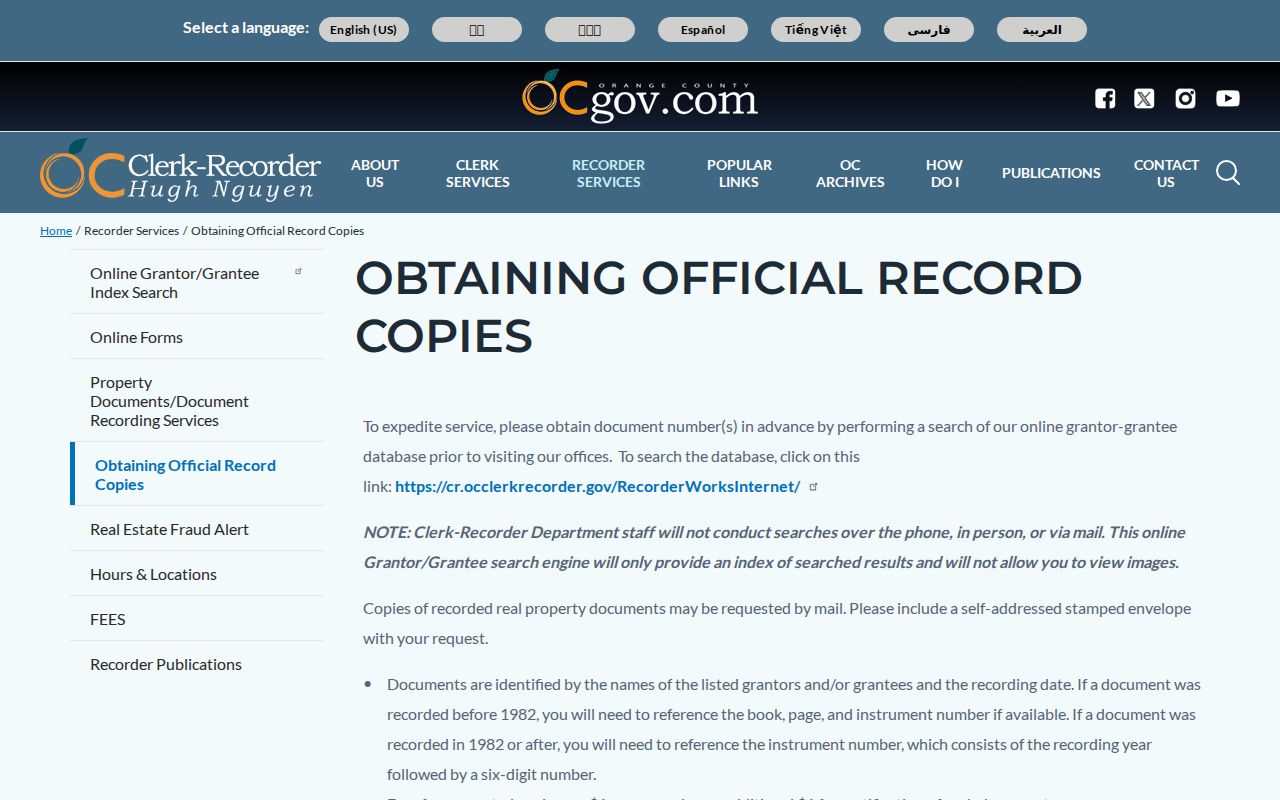
Once the document number is known, the office or mail channel can supply the instrument that the online street directory cannot display.
Orange Street Permit Records
City permit and property history is a useful address trail, but it records physical work and named participants, not a complete list of residents. Orange’s public-records page makes online history available for structures built after 1989. Earlier property files move to a California Public Records Act request through the City Clerk. A permit applicant, contractor, architect, or owner can be named without ever being the person who lived at the address.
Request a bounded existing record. Include the address, APN if known, date span, and the record class, such as permit application, plan index, certificate of occupancy, inspection card, or code case. The city’s ten-day statement is a determination about responsive and disclosable records. It is not a promise that all production is complete within ten days.
The city’s public-records portal is the online starting point. For older structures, ask for electronic copies where available and expect inspection to be scheduled if inspection rather than copies is requested.
Orange Street Address Changes
Historic Orange is oriented around the Plaza, Chapman Avenue, and Glassell Street, while later tracts and edge areas use their own subdivision and service context. Directional prefixes, street-name changes, annexations, lot and block references, and parcel splits can make one place look like several addresses. The exact municipal numbering ordinance was not located, so a claimed rename should be proved with a map, city ordinance, subdivision record, or historical source.
Orange Park Acres and other edge areas show why a postal city line is not enough. A USPS “Orange” label can reach a nearby unincorporated pocket, while a city parcel can sit near a route whose boundaries ignore local planning areas. Use the USPS ZIP lookup for delivery verification, then use city or county GIS for jurisdiction.
When current and historic address forms disagree, bridge them with APN, tract, lot, block, legal description, Sanborn map, tax roll, city minutes, or preservation material. Do not force a match because two street names sound alike.
Orange Reverse Directories by Number
A reverse or criss-cross directory is the historic tool for the question “who was listed at this number?” The Orange Public Library & History Center asks researchers to request the title, publisher, exact year, and abbreviation key before treating a volume as a complete run. The public catalog did not expose an exhaustive official publisher list. That uncertainty belongs in the citation.
Read the street section beside the name section. Check nearby numbers, apartment or unit conventions, spouse notation, occupation, telephone subscriber marks, and any owner symbol. A gap can reflect a missed canvass, a move, a different spelling, or an unlisted household. Pair the address entry with tax rolls, deeds, census schedules, newspapers, or an obituary instead of treating one page as final proof.
The History Center digital collection offers text, image, video, and geographic search. Search the street in Geo Search, then repeat the query with a surname or building name in Text or Image Search. That method often works when directory OCR does not.
Orange Voter Streets Are Restricted
The OC Vote self-service lookup is built for a voter to see personal status, ballot information, and history. It is not a public Orange street directory. California Elections Code section 2194 allows voter data for approved election, scholarly, journalistic, political, or governmental purposes, while commercial use is prohibited. Government Code section 7924.000 protects ordinary home-address disclosure along with signatures and identifiers.
A qualified data request uses the Registrar’s application, original signature, purpose, requested product and geography, payment, and supporting identification for mail delivery. The office is at 1300 S. Grand Ave., Building C, Santa Ana. A controlled file is not permission to republish a list of Orange streets or to treat registration as proof that every person at a parcel lives there.
For a legal street directory, use parcel, deed, permit, and historical sources for their own purposes. Use voter evidence only through the channel and purpose the elections office approves.
What Orange Street Records Miss
A street directory cannot reveal every household member, a private utility account, DMV residence data, or a protected address. An owner mailing address may be outside Orange. A permit applicant may be a professional hired for a project. A reverse-directory entry covers only a publication year and its listed subscribers. A voter result is controlled by statute. These gaps are part of the record design, not search failure.
Lawful personal use. Orange street and address records support family history, property research, civic questions, and personal safety. Do not use a street directory to stalk, threaten, harass, or intimidate anyone.
When a result seems wrong, correct the source relationship rather than repeating the search. Ask the assessor about assessment data, the recorder about an index or redaction, the city about a permit file, and the library about a directory volume. A clear source trail is more reliable than a broad list of names.